File:Map of Maryland highlighting Calvert County.svg
Jump to navigation
Jump to search

Size of this PNG preview of this SVG file: 800 × 418 pixels. Other resolutions: 320 × 167 pixels | 640 × 335 pixels | 1,024 × 536 pixels | 1,280 × 670 pixels | 2,560 × 1,339 pixels | 1,929 × 1,009 pixels.
Original file (SVG file, nominally 1,929 × 1,009 pixels, file size: 80 KB)
Summary
| Description |
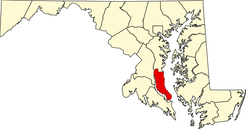
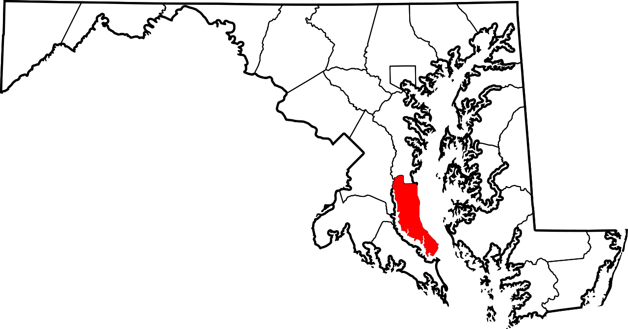
English: This is a locator map showing Calvert County in Maryland. For more information, see Commons:United States county locator maps. |
| Date | |
| Source |
Own work: English: The maps use data from nationalatlas.gov, specifically countyp020.tar.gz on the Raw Data Download page. The maps also use state outline data from statesp020.tar.gz. The Florida maps use hydrogm020.tar.gz to display Lake Okeechobee. |
| Author | David Benbennick |
Licensing
| I, the copyright holder of this work, release this work into the public domain. This applies worldwide. In some countries this may not be legally possible; if so: I grant anyone the right to use this work for any purpose, without any conditions, unless such conditions are required by law. |
File history
Click on a date/time to view the file as it appeared at that time.
| Date/Time | Thumbnail | Dimensions | User | Comment | |
|---|---|---|---|---|---|
| current | 21:41, 24 June 2024 | | 1,929 × 1,009 (80 KB) | Nux | fix rendering (remove clipping) |
| 12:48, 12 February 2006 |  | 3,858 × 2,019 (139 KB) | David Benbennick | {{subst:User:Dbenbenn/clm|county=Calvert County|state=Maryland|type=county}} |
File usage
The following page uses this file:
Global file usage
The following other wikis use this file:
- Usage on ar.wikipedia.org
- Usage on bg.wikipedia.org
- Usage on bpy.wikipedia.org
- Usage on ca.wikipedia.org
- Usage on cdo.wikipedia.org
- Usage on ceb.wikipedia.org
- Usage on ce.wikipedia.org
- Usage on cy.wikipedia.org
- Usage on de.wikipedia.org
- Usage on en.wikipedia.org
- Calvert County, Maryland
- List of counties in Maryland
- Calvert Beach-Long Beach, Maryland
- Chesapeake Beach, Maryland
- Chesapeake Ranch Estates-Drum Point, Maryland
- Dunkirk, Maryland
- Huntingtown, Maryland
- Lusby, Maryland
- North Beach, Maryland
- Owings, Maryland
- Prince Frederick, Maryland
- Solomons, Maryland
- St. Leonard, Maryland
- Chesapeake Ranch Estates, Maryland
- Template:Calvert County, Maryland
- Port Republic, Maryland
- Barstow, Maryland
- Broomes Island, Maryland
- Dowell, Maryland
- Sunderland, Maryland
- Lower Marlboro, Maryland
- Dares Beach, Maryland
- Scientists Cliffs, Maryland
- Stoakley, Maryland
- Chaneyville, Maryland
- Calvert County Sheriff's Office
- Drum Point, Maryland
View more global usage of this file.