File:Maison forte de la ferme du colombier-Aincourt 161.jpg
Jump to navigation
Jump to search
Size of this preview: 800 × 533 pixels. Other resolutions: 320 × 213 pixels | 640 × 427 pixels | 1,024 × 683 pixels | 1,280 × 853 pixels | 2,560 × 1,707 pixels | 3,888 × 2,592 pixels.
Original file (3,888 × 2,592 pixels, file size: 3.43 MB, MIME type: image/jpeg)
Summary
| Camera location | | View this and other nearby images on: OpenStreetMap |
|---|
| Description |
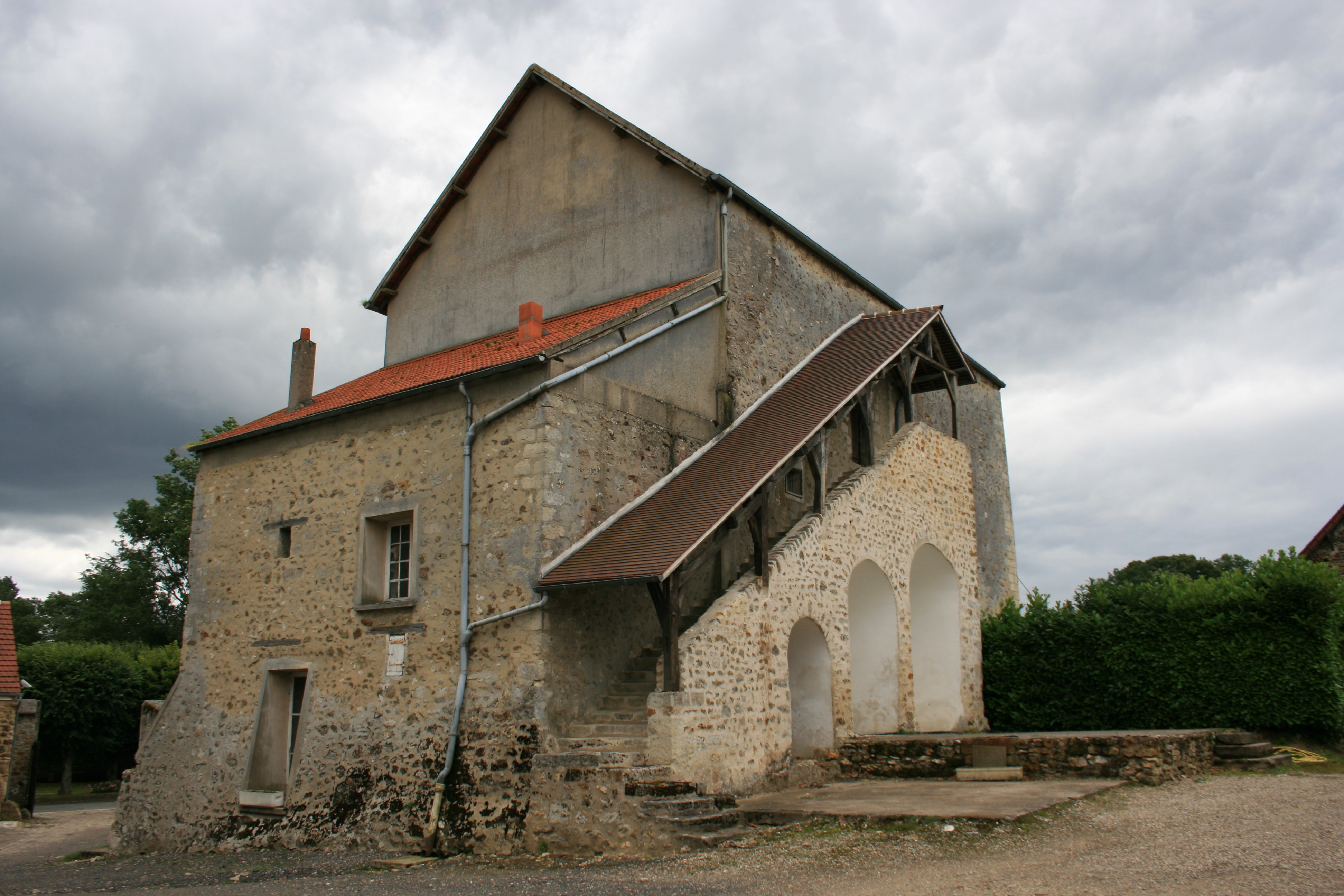
Français : Maison-forte construite par les Templiers entre 1197 et 1205 à Aincourt, dans le Vexin français. Inscrite au registre des monuments historiques en 2003, elle est depuis au moins Napoléon 1er utilisé comme ferme.
Unknown in france, in the village of aincourt (val d'oise), the lastly used fortified house of the vexin français. built by the knights templars, between 1197 and 1205, it is now used as a farm. registred as "monument historique" ("historical buidinf") since 2003. |
| Date | |
| Source | Own work |
| Author | Deuxtroy |
Licensing
I, the copyright holder of this work, hereby publish it under the following license:
This file is licensed under the Creative Commons Attribution-Share Alike 3.0 Unported license.
- You are free:
- to share – to copy, distribute and transmit the work
- to remix – to adapt the work
- Under the following conditions:
- attribution – You must give appropriate credit, provide a link to the license, and indicate if changes were made. You may do so in any reasonable manner, but not in any way that suggests the licensor endorses you or your use.
- share alike – If you remix, transform, or build upon the material, you must distribute your contributions under the same or compatible license as the original.
| Annotations | This image is annotated: View the annotations at Commons |
File history
Click on a date/time to view the file as it appeared at that time.
| Date/Time | Thumbnail | Dimensions | User | Comment | |
|---|---|---|---|---|---|
| current | 18:18, 15 July 2012 | | 3,888 × 2,592 (3.43 MB) | Deuxtroy |
File usage
The following 2 pages use this file:
Global file usage
The following other wikis use this file:
- Usage on de.wikipedia.org
- Usage on fr.wikipedia.org