File:Karte Gemeinde Frutigen 2010.png
Jump to navigation
Jump to search

Size of this preview: 635 × 599 pixels. Other resolutions: 254 × 240 pixels | 509 × 480 pixels | 814 × 768 pixels | 1,085 × 1,024 pixels | 1,476 × 1,393 pixels.
Original file (1,476 × 1,393 pixels, file size: 503 KB, MIME type: image/png)
Summary
| Description |
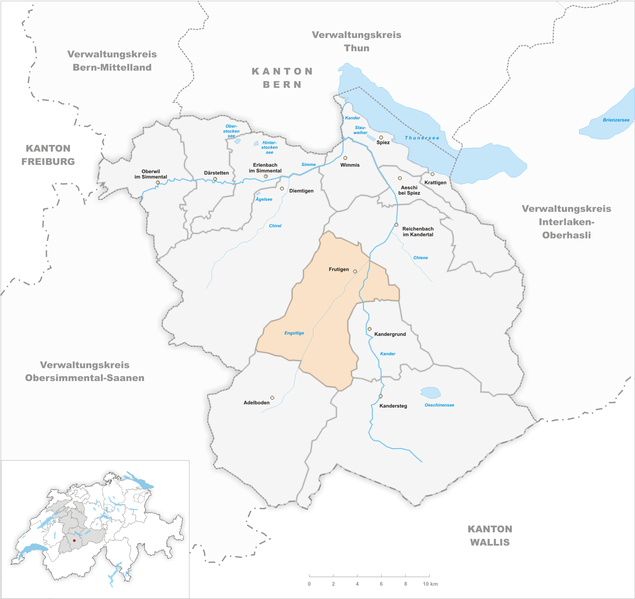
English: Municipality Frutigen
Deutsch: Gemeinde Frutigen |
| Date | |
| Source | Own work |
| Author | Tschubby |
Licensing
I, the copyright holder of this work, hereby publish it under the following licenses:

|
Permission is granted to copy, distribute and/or modify this document under the terms of the GNU Free Documentation License, Version 1.2 or any later version published by the Free Software Foundation; with no Invariant Sections, no Front-Cover Texts, and no Back-Cover Texts. A copy of the license is included in the section entitled GNU Free Documentation License. |
This file is licensed under the Creative Commons Attribution-Share Alike 3.0 Unported, 2.5 Generic, 2.0 Generic and 1.0 Generic license.
- You are free:
- to share – to copy, distribute and transmit the work
- to remix – to adapt the work
- Under the following conditions:
- attribution – You must give appropriate credit, provide a link to the license, and indicate if changes were made. You may do so in any reasonable manner, but not in any way that suggests the licensor endorses you or your use.
- share alike – If you remix, transform, or build upon the material, you must distribute your contributions under the same or compatible license as the original.
You may select the license of your choice.
File history
Click on a date/time to view the file as it appeared at that time.
| Date/Time | Thumbnail | Dimensions | User | Comment | |
|---|---|---|---|---|---|
| current | 08:37, 14 August 2011 | | 1,476 × 1,393 (503 KB) | Tschubby | {{Information |Description= |Source= |Date= |Author= |Permission= |other_versions= }} |
| 20:59, 26 December 2009 |  | 1,771 × 1,671 (632 KB) | Tschubby | == {{int:filedesc}} == {{Information |Description={{en|1=Municipality Frutigen}} {{de|1=Gemeinde Frutigen}} |Source=Eigenes Werk (own work) |Author=Tschubby |Date=2009-12-26 |Permission= |other_versions= }} <!--{{ImageUpload|full}}--> [ |
File usage
The following 2 pages use this file:
Global file usage
The following other wikis use this file:
- Usage on als.wikipedia.org
- Usage on arz.wikipedia.org
- Usage on ca.wikipedia.org
- Usage on ceb.wikipedia.org
- Usage on de.wikipedia.org
- Usage on eu.wikipedia.org
- Usage on fi.wikipedia.org
- Usage on fr.wikipedia.org
- Usage on it.wikipedia.org
- Usage on lmo.wikipedia.org
- Usage on nl.wikipedia.org
- Usage on pl.wikipedia.org
- Usage on sv.wikipedia.org
- Usage on uk.wikipedia.org