File:Karte Berlin Communityspace.png
Jump to navigation
Jump to search
Size of this preview: 800 × 599 pixels. Other resolutions: 320 × 240 pixels | 640 × 479 pixels | 1,024 × 767 pixels | 1,305 × 977 pixels.
Original file (1,305 × 977 pixels, file size: 581 KB, MIME type: image/png)
Summary
| Description |
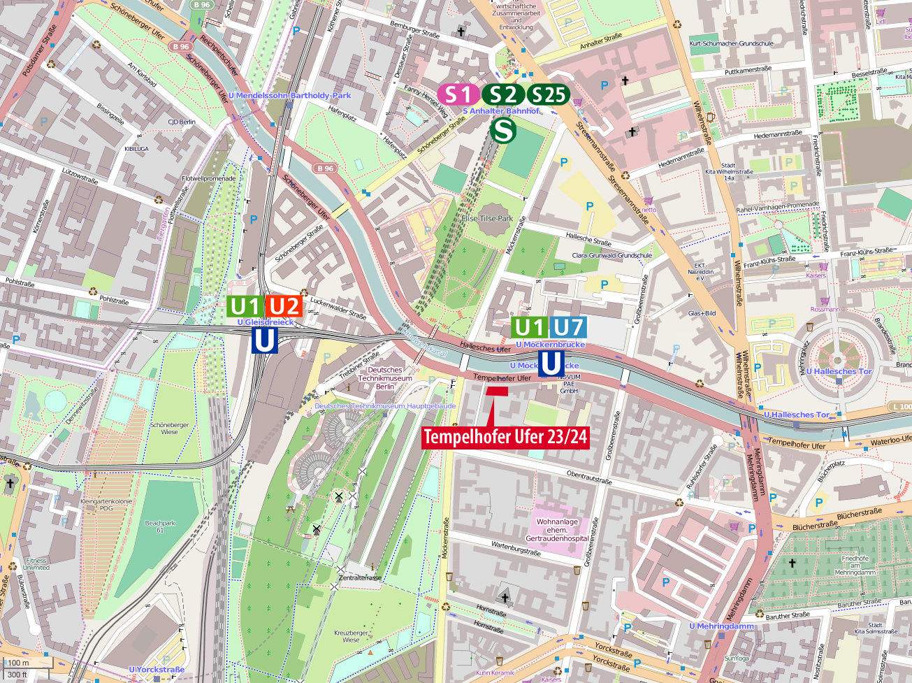
Deutsch: Anfahrtskarte zum Communityspace in Berlin-Kreuzberg |
| Date | |
| Source | Own work using: OpenStreetMap data |
| Author | NordNordWest and OpenStreetMap contributors |

|
This map has been made or improved in the German Kartenwerkstatt (Map Lab). You can propose maps to improve as well.
|
Licensing
| This work contains information from OpenStreetMap, which is made available under the Open Database License (ODbL).
The ODbL does not require any particular license for maps produced from ODbL data. Prior to 1 August 2020, map tiles produced by the OpenStreetMap Foundation were licensed under the CC-BY-SA-2.0 license. Maps produced by other people may be subject to other licences. |
I, the copyright holder of this work, hereby publish it under the following license:
This file is licensed under the Creative Commons Attribution-Share Alike 2.0 Generic license.
- You are free:
- to share – to copy, distribute and transmit the work
- to remix – to adapt the work
- Under the following conditions:
- attribution – You must give appropriate credit, provide a link to the license, and indicate if changes were made. You may do so in any reasonable manner, but not in any way that suggests the licensor endorses you or your use.
- share alike – If you remix, transform, or build upon the material, you must distribute your contributions under the same or compatible license as the original.
File history
Click on a date/time to view the file as it appeared at that time.
| Date/Time | Thumbnail | Dimensions | User | Comment | |
|---|---|---|---|---|---|
| current | 09:57, 26 April 2014 | | 1,305 × 977 (581 KB) | NordNordWest | == {{int:filedesc}} == {{Information |Description= {{de|1=Anfahrtskarte zum Communityspace in Berlin-Kreuzberg}} |Source={{Own using}} OpenStreetMap data |Date={{Date|2014|04|26}} |Author={{U|NordNordWest}} and OpenStreetMap contributors |Permission= |... |
File usage
The following 4 pages use this file:
Global file usage
The following other wikis use this file: