File:Goose Island Chicago Open Street Map.png
Jump to navigation
Jump to search
Size of this preview: 446 × 599 pixels. Other resolutions: 179 × 240 pixels | 357 × 480 pixels | 755 × 1,014 pixels.
Original file (755 × 1,014 pixels, file size: 418 KB, MIME type: image/png)
Summary
| Description |
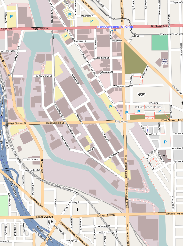
English: Street map of Goose Island in Chicago, Illinois, USA |
| Source | Open Street Map |
| Author | The editors of Open Street Map |
Licensing
This file is licensed under the Creative Commons Attribution-Share Alike 2.0 Generic license.
- You are free:
- to share – to copy, distribute and transmit the work
- to remix – to adapt the work
- Under the following conditions:
- attribution – You must give appropriate credit, provide a link to the license, and indicate if changes were made. You may do so in any reasonable manner, but not in any way that suggests the licensor endorses you or your use.
- share alike – If you remix, transform, or build upon the material, you must distribute your contributions under the same or compatible license as the original.
File history
Click on a date/time to view the file as it appeared at that time.
| Date/Time | Thumbnail | Dimensions | User | Comment | |
|---|---|---|---|---|---|
| current | 17:44, 2 January 2010 | | 755 × 1,014 (418 KB) | JeremyA | updated |
| 22:09, 16 December 2009 |  | 755 × 1,014 (368 KB) | JeremyA | == {{int:filedesc}} == {{Information |Description={{en|1=Street map of Goose Island in Chicago, Illinois, USA}} |Source=Open Street Map |Author=The editors of Open Street Map |Date= |Permission= |other_versions= }} <!--{{ImageUpload|full}}--> == {{int:li |
File usage
The following page uses this file:
Global file usage
The following other wikis use this file:
- Usage on fr.wikipedia.org
- Usage on ko.wikipedia.org
- Usage on simple.wikipedia.org