File:Real Conservatorio Superior de Música (Madrid) 01.jpg
Jump to navigation
Jump to search
Size of this preview: 800 × 600 pixels. Other resolutions: 320 × 240 pixels | 640 × 480 pixels | 1,024 × 768 pixels | 1,280 × 960 pixels | 2,560 × 1,920 pixels | 3,056 × 2,292 pixels.
Original file (3,056 × 2,292 pixels, file size: 1.94 MB, MIME type: image/jpeg)
| Description |
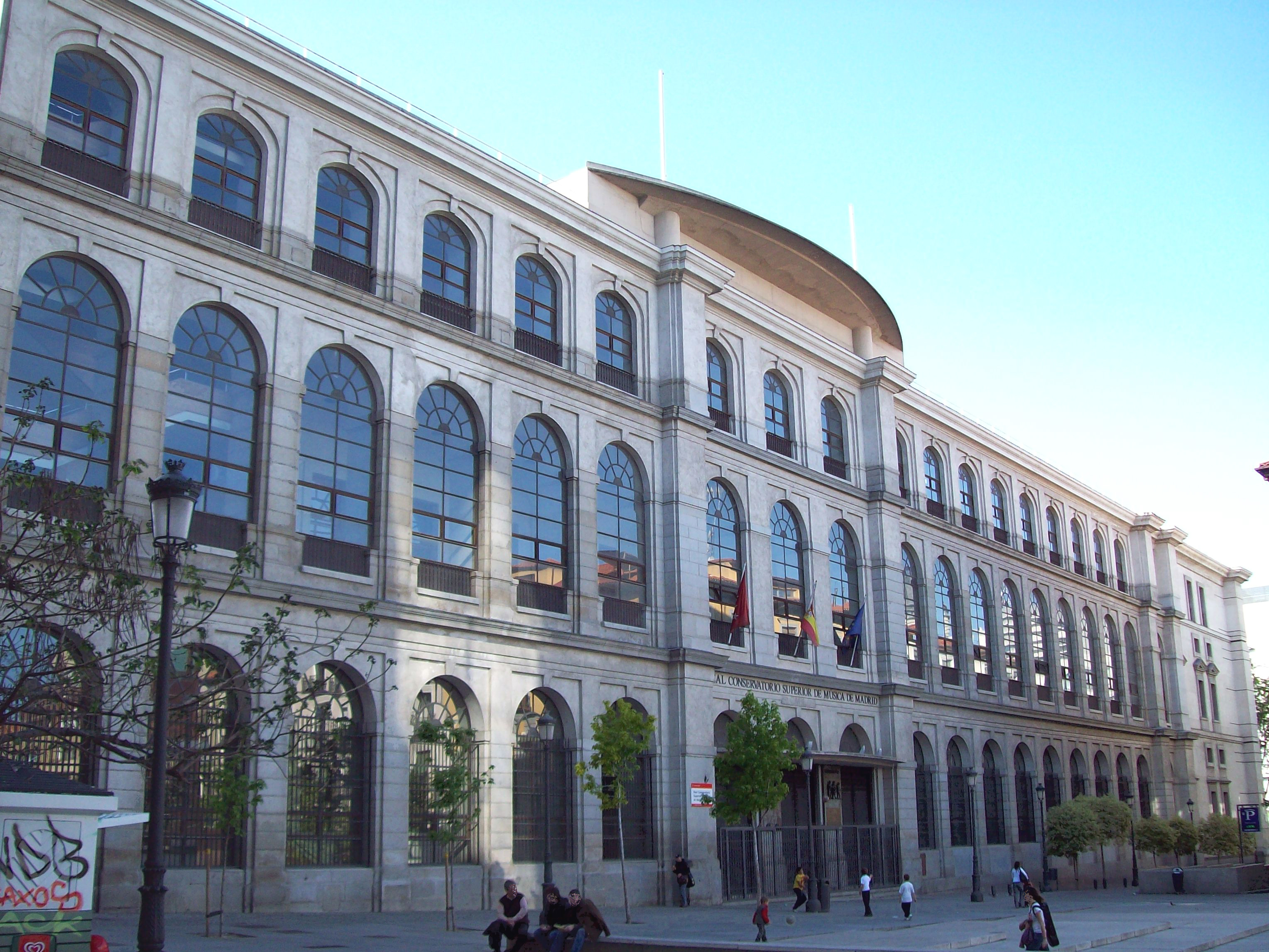
English: Royal Conservatory of Madrid (Spain), at 2 Calle del Doctor Mata (street) in Centro district. Building was projected in 1769 by architect Francesco Sabatini and built between 1769 and 1788 as San Carlos Hospital. It was remodeled as a conservatory from 1987 to 1990.
Español: Real Conservatorio Superior de Música de Madrid (España), en el nº 2 de la Calle del Doctor Mata (distrito Centro). El edificio fue proyectado en 1769 por el arquitecto Francesco Sabatini y construido de 1769 a 1788 como Hospital de San Carlos. Fue remodelado para conservatorio de 1987 a 1990. |
||
| Date | |||
| Source | Own work | ||
| Author | Luis García (Zaqarbal) | ||
| Permission (Reusing this file) |
I, the copyright holder of this work, hereby publish it under the following licenses:
This file is licensed under the Creative Commons Attribution-Share Alike 3.0 Unported, 2.5 Generic, 2.0 Generic and 1.0 Generic license. Attribution: Luis García
You may select the license of your choice. |
||
| Other versions |
|

_02.jpg)

_01.jpg)
| Object location | | View this and other nearby images on: OpenStreetMap |
|---|
_01.jpg¶ms=040.409197_N_-003.694345_E_globe:Earth_class:object_type:landmark_region:ES_&language=en)
File history
Click on a date/time to view the file as it appeared at that time.
| Date/Time | Thumbnail | Dimensions | User | Comment | |
|---|---|---|---|---|---|
| current | 23:24, 17 July 2009 | | 3,056 × 2,292 (1.94 MB) | Zaqarbal | Taken by Luis García (Zaqarbal) on April 28, 2009. Hereby published under GFDL and Cc-by-sa-3.0,2.5,2.0,1.0 licenses. |
File usage
The following 4 pages use this file:
Global file usage
The following other wikis use this file:
- Usage on ca.wikipedia.org
- Usage on eo.wikipedia.org
- Usage on es.wikipedia.org
- Usage on eu.wikipedia.org
- Usage on fr.wikipedia.org
- Usage on hy.wikipedia.org
- Usage on it.wikipedia.org
- Usage on ru.wikipedia.org
- Usage on sv.wikipedia.org
- Usage on uk.wikipedia.org
_01.jpg)