File:Iglesia de Nª Señora del Rosario de Filipinas (Madrid) 01.jpg
Jump to navigation
Jump to search

Size of this preview: 469 × 600 pixels. Other resolutions: 188 × 240 pixels | 375 × 480 pixels | 600 × 768 pixels | 801 × 1,024 pixels | 1,602 × 2,048 pixels | 3,240 × 4,143 pixels.
Original file (3,240 × 4,143 pixels, file size: 1.79 MB, MIME type: image/jpeg)
| Description |
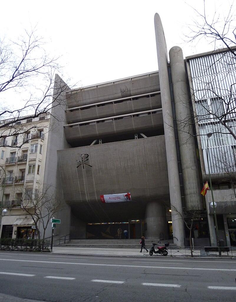
English: Façade of Church of Our Lady of the Rosary of the Philippines, at 40 Calle del Conde de Peñalver (street) in Salamanca district in Madrid (Spain). It was projected in 1967 by Cecilio Sánchez-Robles Tarín and built between 1967 and 1970.
Español: Fachada de la Iglesia de Nuestra Señora del Rosario de Filipinas, en el nº 40 de la Calle del Conde de Peñalver de Madrid (España), en el distrito de Salamanca. Fue proyectada en 1967 por Cecilio Sánchez-Robles Tarín y construida entre 1967 y 1970. |
||
| Date | |||
| Source | Own work | ||
| Author | Luis García (Zaqarbal) | ||
| Permission (Reusing this file) |
I, the copyright holder of this work, hereby publish it under the following licenses:
This file is licensed under the Creative Commons Attribution-Share Alike 3.0 Unported, 2.5 Generic, 2.0 Generic and 1.0 Generic license. Attribution: Luis García
You may select the license of your choice. |
||
| Other versions |
 |

_01.jpg)
| Object location | | View this and other nearby images on: OpenStreetMap |
|---|
_01.jpg¶ms=040.429222_N_-003.675139_E_globe:Earth_class:object_type:landmark_region:ES_&language=en)
File history
Click on a date/time to view the file as it appeared at that time.
| Date/Time | Thumbnail | Dimensions | User | Comment | |
|---|---|---|---|---|---|
| current | 11:05, 18 February 2011 | | 3,240 × 4,143 (1.79 MB) | Zaqarbal | Taken by Luis García (Zaqarbal) on February 14, 2011. Hereby published under GFDL and Cc-by-sa-3.0,2.5,2.0,1.0 licenses. |
File usage
The following 2 pages use this file:
Global file usage
The following other wikis use this file:
- Usage on es.wikipedia.org
_01.jpg)