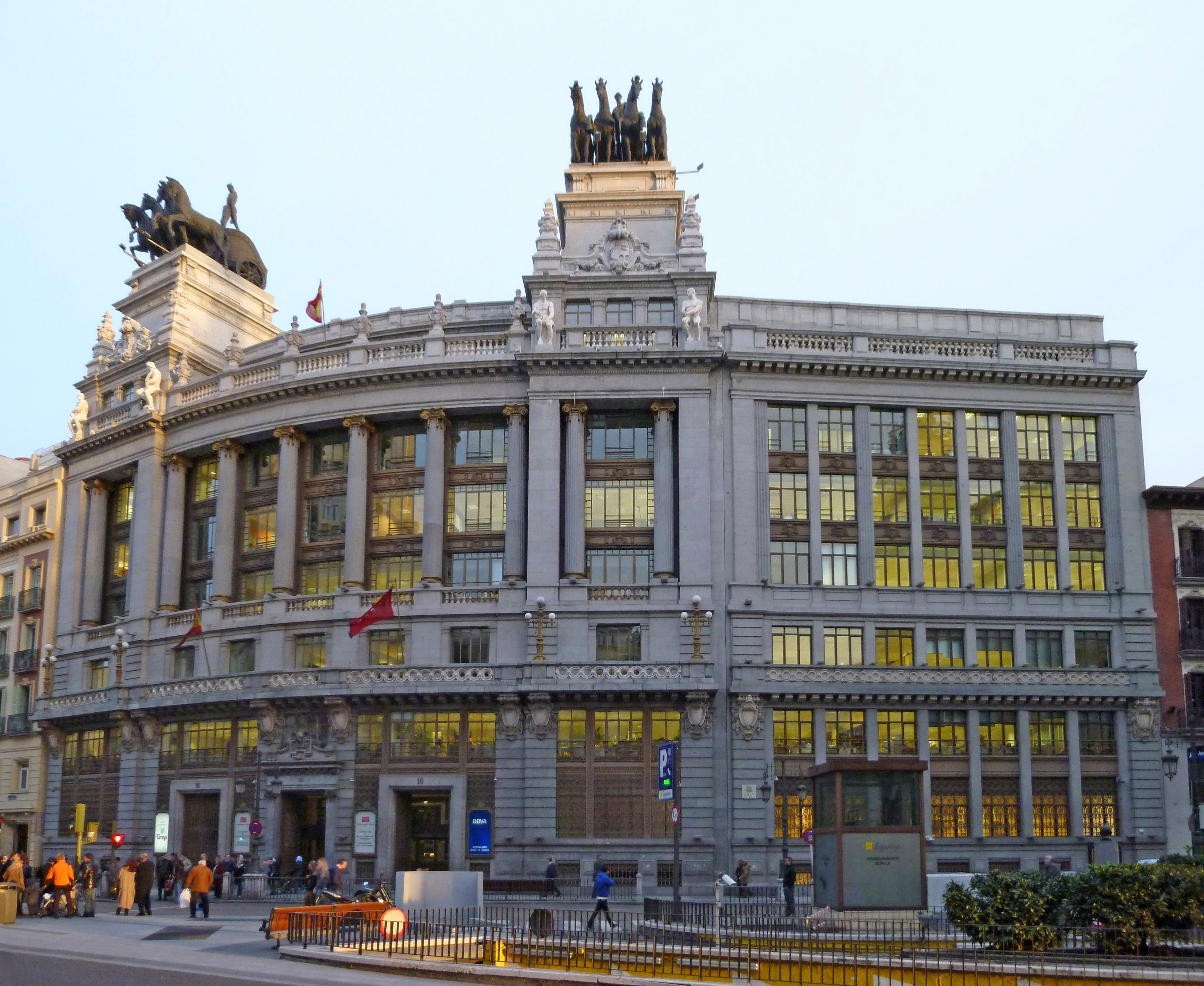
File:Banco de Bilbao (c. Alcalá 16, Madrid) 13.jpg
Jump to navigation
Jump to search
Size of this preview: 732 × 599 pixels. Other resolutions: 293 × 240 pixels | 586 × 480 pixels | 938 × 768 pixels | 1,251 × 1,024 pixels | 2,501 × 2,048 pixels | 3,472 × 2,843 pixels.
Original file (3,472 × 2,843 pixels, file size: 2.06 MB, MIME type: image/jpeg)
| Description |
|
||
| Date | |||
| Source | Own work | ||
| Author | Luis García (Zaqarbal) | ||
| Permission (Reusing this file) |
I, the copyright holder of this work, hereby publish it under the following licenses:
This file is licensed under the Creative Commons Attribution-Share Alike 3.0 Unported, 2.5 Generic, 2.0 Generic and 1.0 Generic license. Attribution: Luis García
You may select the license of your choice. |

_13.jpg)
| Object location | | View this and other nearby images on: OpenStreetMap |
|---|
_13.jpg¶ms=040.417500_N_-003.699444_E_globe:Earth_class:object_type:landmark_&language=en)
File history
Click on a date/time to view the file as it appeared at that time.
| Date/Time | Thumbnail | Dimensions | User | Comment | |
|---|---|---|---|---|---|
| current | 11:28, 5 April 2019 | | 3,472 × 2,843 (2.06 MB) | Zaqarbal | Perspective, brightness and contrast adjustments. |
| 21:20, 18 February 2011 |  | 4,320 × 3,165 (1.98 MB) | Zaqarbal | Taken by Luis García (Zaqarbal) on February 17, 2011. Hereby published under GFDL and Cc-by-sa-3.0,2.5,2.0,1.0 licenses. |
File usage
The following 5 pages use this file:
Global file usage
The following other wikis use this file:
- Usage on en.wikipedia.org
- Usage on es.wikipedia.org
- Usage on eu.wikipedia.org
- Usage on ru.wikipedia.org
- Usage on uk.wikipedia.org
_13.jpg)